


ENVIRONMENTAL/ENGINEERING
Multi-Disciplinary Civil, Environmental, & Emergency Management Services
With over 30 years of experience, clients trust ES2 to support their most complex projects. Our integrated geospatial, engineering, environmental, and emergency management expertise helps assess conditions, reduce risk, and deliver successful projects.
30+
years






Engineering Program Planning through Commissioning
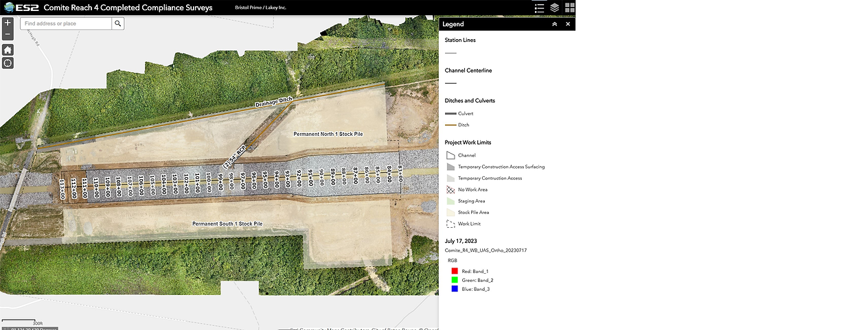
ES2 delivers full-lifecycle solutions from initial program planning through final commissioning. Leveraging cutting-edge technology, our firm embeds GIS mapping and advanced remote sensing tech directly into its engineering workflows to plan, design, and manage complex infrastructure and civil works projects. This spatial intelligence accelerates project timelines, minimizes field hazards, and ensures asset performance matches design specifications during the final commissioning phase.
Volume Calculation
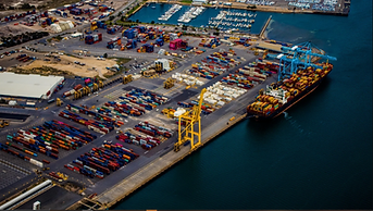
ES2 delivers remote-sensed volume calculations for stockpiles, excavation, sediment, impervious surface, infrastructure, and debris. Our team leverages accurate spatial data to generate precise volumetric measurements, helping clients track inventory, monitor site conditions, and support project planning, billing, and regulatory reporting needs.

Environmental Studies & Planning Services
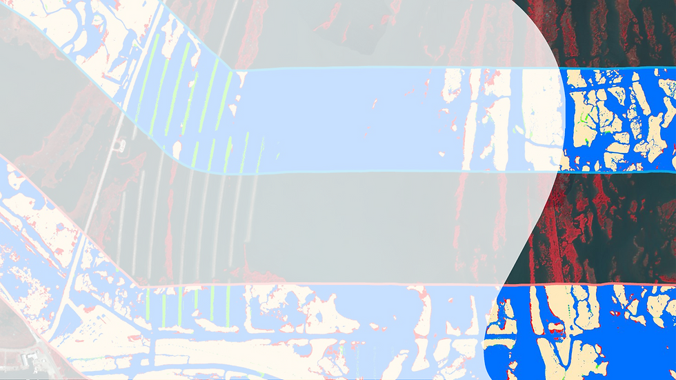
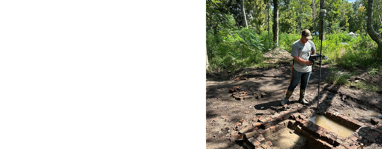
ES2 delivers a variety of environmental services backed by advanced spatial intelligence. Leveraging cutting-edge technology, we integrate GIS mapping, mobile applications, and remote sensing to capture useful layers of field data, which our environmental specialists analyze. These innovations enable precise wetland delineations, coastal erosion tracking, and post-disaster damage assessments, translating chaotic environmental data into actionable digital twins for federal, municipal, and private clients.
NEPA Compliance
ES2 supports Federal agencies in meeting the legal requirements of the National Environmental Policy Act (NEPA) before executing civil works or military construction, or issuing permits. Our staff supports Environmental Assessments (EAs), Environmental Impact Statements (EISs), baseline surveys, interagency engagement, and public involvement. ES2 has the knowledge and capability to establish and coordinate integrated teams of environmental specialists, biologists, ecologists, HTRW specialists, wildlife and fisheries specialists, planners, geologists, and field technicians to provide the services our clients’ projects require.
Call your Emergency Management SMEs When the Mission Can't Wait
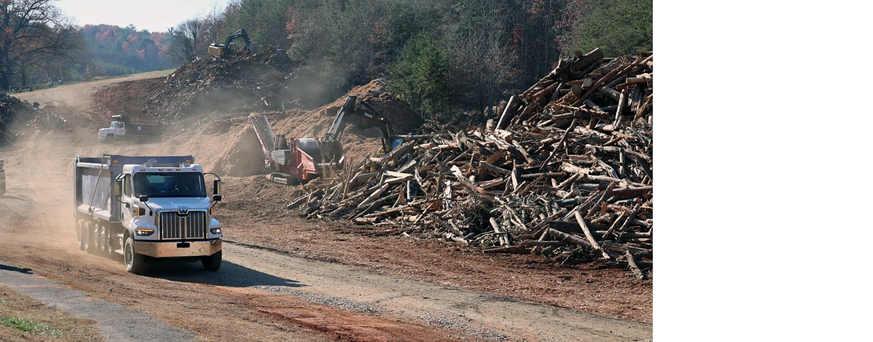
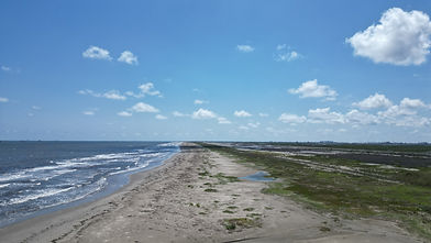
We mobilize experienced geospatial personnel to conduct baseline pre-incident assessments, post-event debris estimation, drone-based damage assessment, and end-to-end GIS support. We provide drone-supported damage assessment, infrastructure inspection, and monitoring. We also offer post-event shoreline and coastal infrastructure assessment with GIS-integrated documentation.
Our SMEs Provide Debris Eligibility Training & Technical Assistance
Rapid Staff-Up & Technical Augmentation
Geospatial Personnel: Our GIS Analysts, developers, and technicians help turn massive amounts of chaotic, post-disaster field data into structured maps and actionable databases. This spatial data is critical for tracking debris clearing progress, routing truck fleets, and validating millions of dollars in federal reimbursements. Our personnel can build and maintain interactive project dashboards and process satellite imagery, manned aircraft photography, bathymetric data, and drone (UAS) data to visually map debris fields, calculate vegetative damage, and identify hidden obstructions. Additionally, our staff can support ground operations by troubleshooting mobile mapping applications (like Esri ArcGIS Field Maps) used by monitors and inspectors on the street.


READY TO TALK ABOUT YOUR NEEDS?
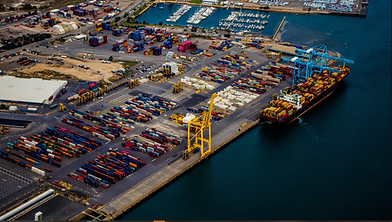
Whether you're a federal contracting officer, state & local agency, or port authority leader, or an AEC firm evaluating teaming options, we're ready to discuss your scope and how ES2 can support your program.