


30+
Years of Experience
6+
State Licenses
Licensed
Pilots, Engineers, Surveyors
GOLD
Esri Partner


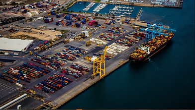
Blue-listed Drones Fleet & Sensors Capabilities Include:
WingtraRay
-
WingtraRAY & Survey Camera
-
Vertical Takeoff and Landing
-
WingtraRAY Fixed-wing / Vertical Take-Off and Landing
-
FAA certified for Operations Over People Without a Waiver
-
3D reconstruction (Gaussian Splats, 3D Mesh)
-
2D Surveying (True Ortho, DEM, DSM)
-
LiDAR (Ground Measurements through Vegetation, Electrical Utility mapping)
-
Multispectral (Veg classification, Veg Health, NDVI)


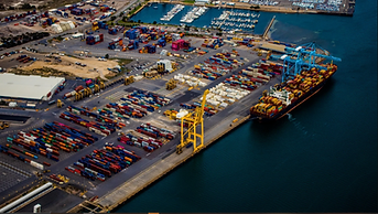


GIS Collections
-
High-accuracy GPS with ArcGIS Field App Collection
-
Asset Location
-
Validation Collection
-
Utility Location Survey
-
Construction Staking & Layout
-
Ground Control




Hydrographic Survey
Our Fleet of hydrographic surveying vessels includes Archie and Verboaten. Archie, a 26-foot autonomous Survey vessel powered by Mythos AI. Equipped with multibeam and single-beam echo sounders for detailed underwater mapping. Learn more about Archie. Verboaten is a 21-foot cabin survey vessel that is equipped with a single-beam echo sounder for cross-sectional profiles.
Learn more about Verboaten.
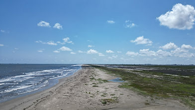
Hydrographic Surveying Vessels Include Archie & Verboaten:
Capabilities Include:
-
Single Beam Echo Sounder
-
Multibeam Echo Sounder
-
Revetment Condition Surveys
-
Channel Clearing Surveys
-
Dredging Analysis
-
Submerged Utility Location
-
Shoreline Mapping
-
Underwater Topography
-
Harbor / Port Surveys
-
Submerged Utility Location
-
Channel Mapping
-
Wrecks and Obstructions
-
Dredging


DATA COLLECTION PACKAGES
Let us know some details about your project. If you're unsure how to fill out the fields, leave them blank, and we will contact you for more details.