

USACE New Orleans | Phase I ESA, Atchafalaya Basin Floodway System
Jun 17
1 min read

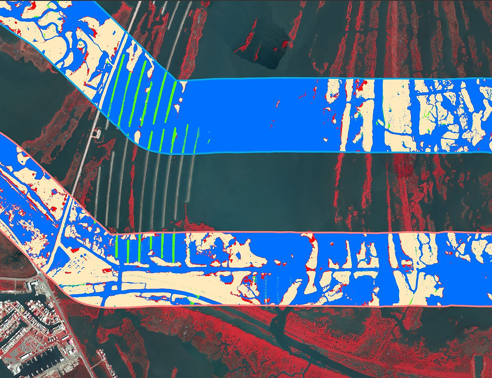
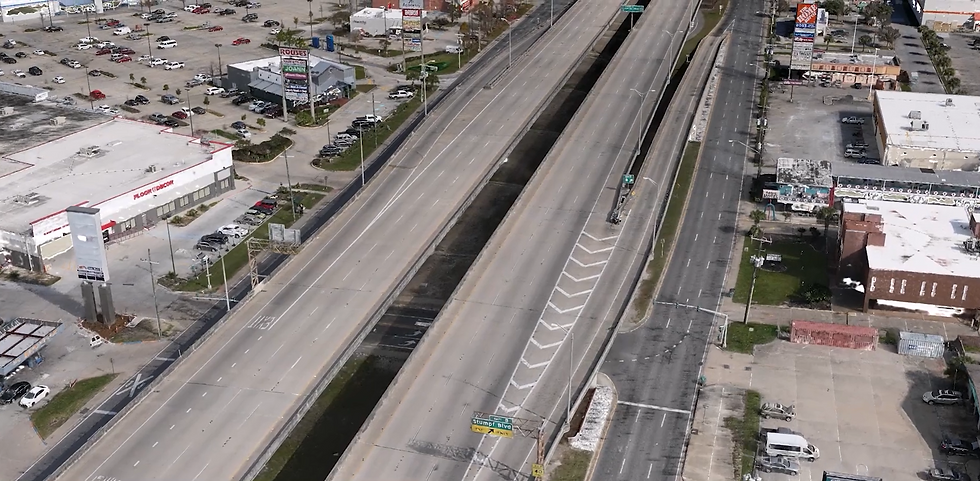
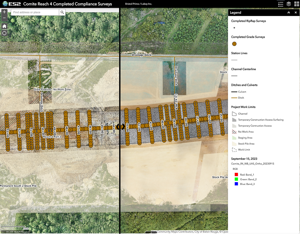
Assessing 30,000 acres of the Atchafalaya Basin Floodway System required field capability and a platform to organize a large, complex dataset. ES2 conducted a Limited Phase I Environmental Site Assessment, collected drone imagery, reviewed historical aerial photography and environmental records, and built a GIS web application to organize, visualize, and evaluate all findings.