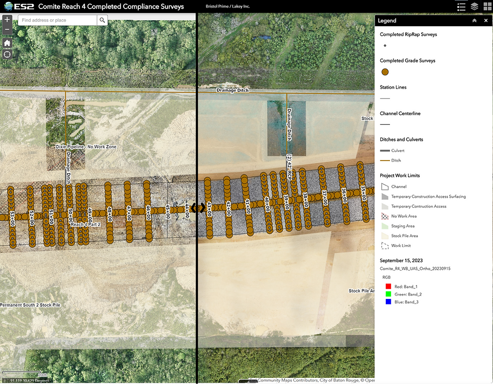


Waste Management | Landfill Capacity Surveys
Jun 17
1 min read
Updated: Jul 12

Landfills must track remaining capacity, but active waste areas make traditional ground survey slow, hazardous, and prone to error. ES2 deployed UAS photogrammetry and LiDAR across multiple landfills and borrow areas, calculating remaining cell capacity, excavated quantities, and post-storm debris volumes to support capacity planning and recovery.