


TRUSTED GEOSPATIAL SOLUTIONS FOR COMPLEX PROBLEMS
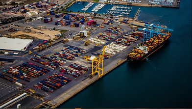
Federal agencies, port authorities, and AEC firms depend on accurate, defensible spatial data and reliable field execution. Backed by proven delivery across USACE, FEMA, and Gulf Coast port programs, ES2 delivers the surveying, GIS, and UAS capacity they rely on for complex infrastructure projects.
30+
years





ONE ACCOUNTABLE PARTNER. STATE-OF-THE-ART TECHNOLOGY.
PROVEN DELIVERY.


OUR PEOPLE
Decades of Geospatial Expertise Across Every Domain
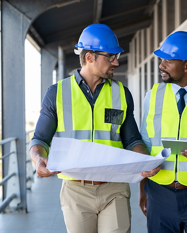
Our team brings decades of professional engineering, surveying, geospatial, and remote sensing expertise to every project. We deliver precise data collection and analysis for ports, AEC (architecture, engineering & construction), environmental, and government clients at the state, local, and federal levels.


OUR METHOD
Clarity and Accountability at Every Step
Our approach is built to bring clarity before action and accountability all the way through. Every engagement follows the same four-step discipline, whether the deliverable is a survey, a GIS platform, or a federal program. Clarity before action. Accountability all the way through.


OUR EQUIPMENT
Advanced Data Collection Across Air, Land, and Sea
We deploy technology-forward equipment to capture precise data across every environment: air, land, and sea. Strategic partnerships with industry leaders such as Wingtra for UAS (drone) collection and Mythos AI for hydrographic surveying provide us with access to cutting-edge tools that deliver accurate, reliable results.




OUR EXPERTISE COVERS


WHAT SETS US APART
One Contractor
ES2 is your single accountable service partner delivering field collection through final project deliverable.
Data Integrators
ES2 specializes in integrating ArcGIS with enterprise business systems for improved data sharing and informed decision-making.
Special Ops
As a nimble small business, we deliver the technical expertise and reliability, while offering the agility and personal commitment often missing from bigger players.
Partnerships
Strategic partnerships and relationships with innovative technology companies Esri, Wingtra, & Mythos AI.
READY TO TALK ABOUT YOUR NEEDS?
Whether you're a federal contracting officer, state & local agency, or port authority leader, or an AEC firm evaluating teaming options, we're ready to discuss your scope and how ES2 can support your program.
ES2 CLIENTS


