

Port Pascagoula | Enterprise GIS and Geospatial Strategy
Jun 17
1 min read
Updated: Jul 10

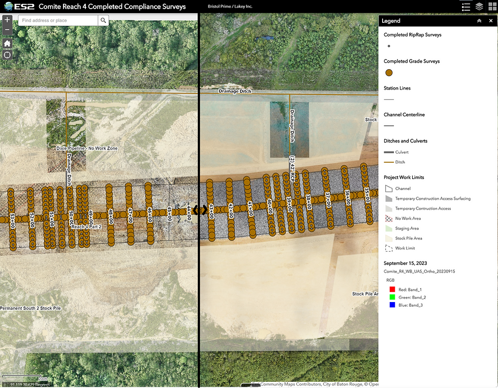
Port Pascagoula lacked an authoritative record of what it owned, leased, and could develop, with no reliable spatial data on utilities across two harbor areas. ES2 built a GIS basemap, developed a three-year geospatial strategy, and created detailed utility layers for sewer, gas, water, communications, and electrical infrastructure at both harbor areas.