.png)
(225) 927-7171
Surveying and Mapping
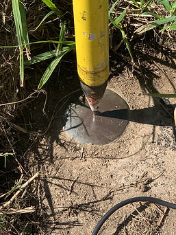
Es² field personnel perform a wide variety field data collection services using the latest in GNSS and conventional surveying equipment. Es² engineers oversee the field staff to verify data accuracy and provide quality control. All field personnel receive extensive safety training to ensure projects are completed injury-free.


Es² Surveying and Mapping Services
Terrestrial Surveys
-
Construction Layout
-
Survey Control
-
As-Built
-
Topographic
-
Profiles
CAD / Design
-
Trimble Business Center
-
AutoDesk AutoCad
-
Autodesk Civil 4D
-
CAD to GIS Conversion
-
Machine Control Models
Mobile GIS
-
Survey 123
-
Field Maps
-
Quick Capture
-
High-Accuracy GNSS
-
NavVis Handheld Reality Capture
Hydrographic
-
Single Beam Sonar
-
Multibeam Sonar
-
HYPACK
-
Autonomous Surveys Powered by Mythos AI
Es² Surveying and Mapping Projects


Es² Surveying Equipment


Trimble R-Series GNSS
Trimble S5 Robotic
Trimble Catalyst

NavVis MLX

SafeBoat Porter 78S

Kongsberg EM 2042